Dong Van Geopark: turn scenic stops into a geology journey
Explore Dong Van Geopark through a few well-chosen geology stops, with context for limestone, deep valleys and the communities living in the landscape.
 Cat Ba Connect3 min read
The short answer
Dong Van is a UNESCO Global Geopark, best explored by connecting a few interpreted geological places rather than collecting roadside photographs. Its landscape is also home to working communities whose land deserves respect.
Know what the geopark designation means
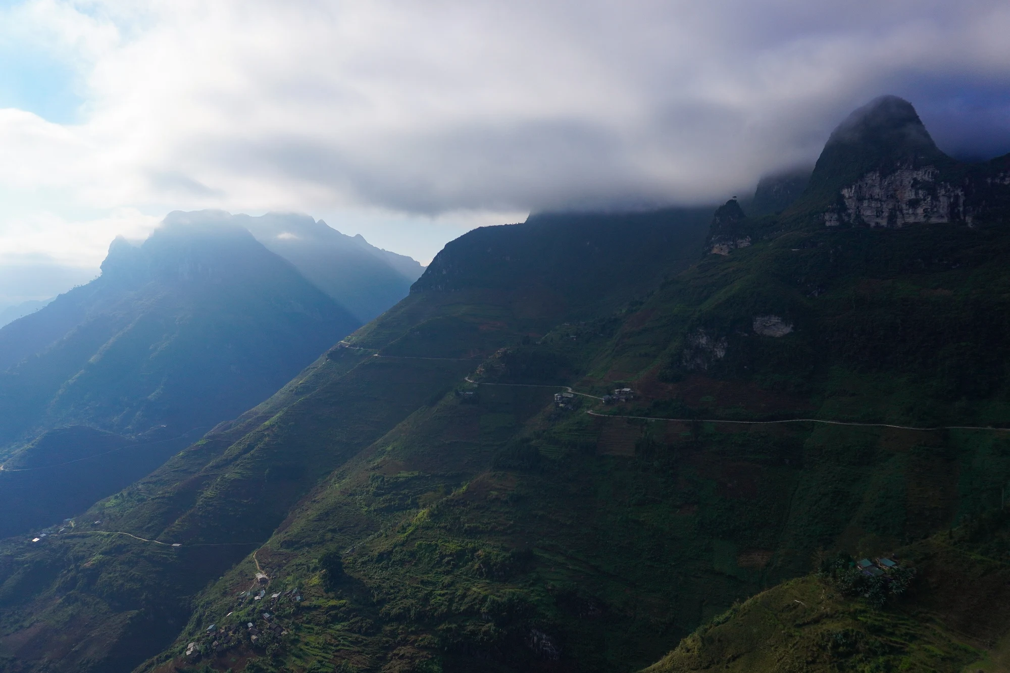
A UNESCO Global Geopark is a framework linking geological heritage, education and local development. It is not the same designation as a World Heritage property, nor a single fenced attraction. Dong Van’s broad landscape includes limestone terrain, valleys and culturally significant places. Start at an information point or with a guide who can explain a small number of geological themes. That makes the scale manageable and helps separate recognised interpretation from a dramatic roadside nickname.
Look for processes rather than only shapes
Ask how rock layers, erosion and tectonic movement contribute to the scenery. A mountain outline may be memorable, but a geological visit tries to understand why the landscape looks that way. Read interpretation panels where available and distinguish a verified fossil locality from an ordinary rock with an interesting pattern. Do not remove fossils or stones. Their scientific value depends partly on their place and relationship to the surrounding layers, not only on their appearance.
Choose official stopping places on the road
Views associated with Ma Pi Leng and deep valleys are part of a road journey through inhabited mountain country. Stop only where parking and standing are permitted and safe. Do not ask a driver to halt on a blind bend to match an online angle. A guide can help identify an appropriate interpretation point without turning the route into constant short stops. Bad visibility or rain can make fewer, better-planned stops the more rewarding choice.
Keep cultural places distinct from geological ones
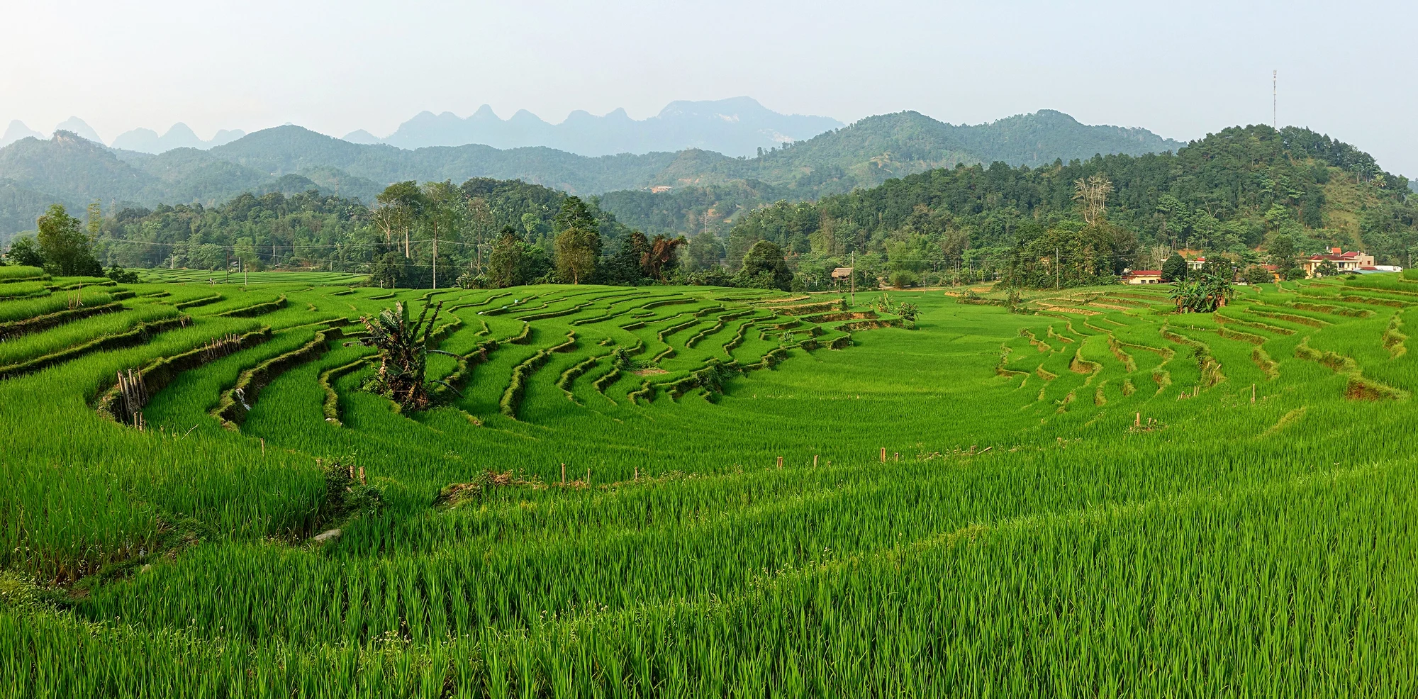
Markets, houses and cultivated fields reveal how people live within the terrain; they are not simply geological exhibits. Ask before entering private land or photographing individuals, and avoid stepping across planted ground for a clearer view. Choose local interpretation where possible and let community knowledge add detail to the physical landscape. The point is to connect earth history and human life without reducing either to scenery for visitors passing through on a fixed circuit.
Read current administration and access carefully
The familiar travel name Ha Giang remains widely used, while current official information places the geopark within Tuyen Quang following administrative changes. Use the actual place and route when arranging transport instead of assuming an old provincial label resolves every booking detail. Check current road and visitor notices before departure. A geological journey benefits from time to observe; do not schedule it as an endurance race between viewpoint pins or attach it to an unrealistic overnight transfer.
Questions travellers ask
Is the geopark one attraction with one entrance?
No. It is a broad inhabited landscape with multiple geological and cultural places and separate local access arrangements.
Can I collect a small fossil?
Leave fossils and rocks in place. Their context is part of the geological evidence and heritage.