How to read Trang An’s karst: tower, cone, notch and old shoreline
A field guide to Trang An’s limestone from a rowing boat: towers, cones, cockpits and the cliff notches that show where the sea stood thousands of years ago.
 Cat Ba Connect4 min read
The short answer
Trang An’s cliffs record a coastline that no longer exists. From a rowing boat, look for sharp towers and cones, enclosed basins joined by cave passages, and horizontal grooves cut into rock faces. Those grooves are erosion notches, and researchers read them as old sea levels from roughly 8,000 to 4,000 years ago, when this inland massif stood in a shallow sea. You need no geology background: learn four shapes before boarding, then ask your rower to slow where a notch runs along the cliff.
An inland place that remembers the tide
Start with the oddity. Trang An sits among rice fields, yet the IUCN World Heritage Outlook describes erosion notches, wave-cut platforms, beach deposits and layers of marine shell here, and says five former coastlines at different heights have been mapped and dated. The sea came in after the last ice age, stood against these walls, then retreated. Every boat ride therefore travels across a former seabed, and the rock on either side is a set of tide marks with no tide.
That framing changes how a slow stretch feels. A wall that looks blank from a distance is often the most informative thing on the route.
Four shapes to learn before you board
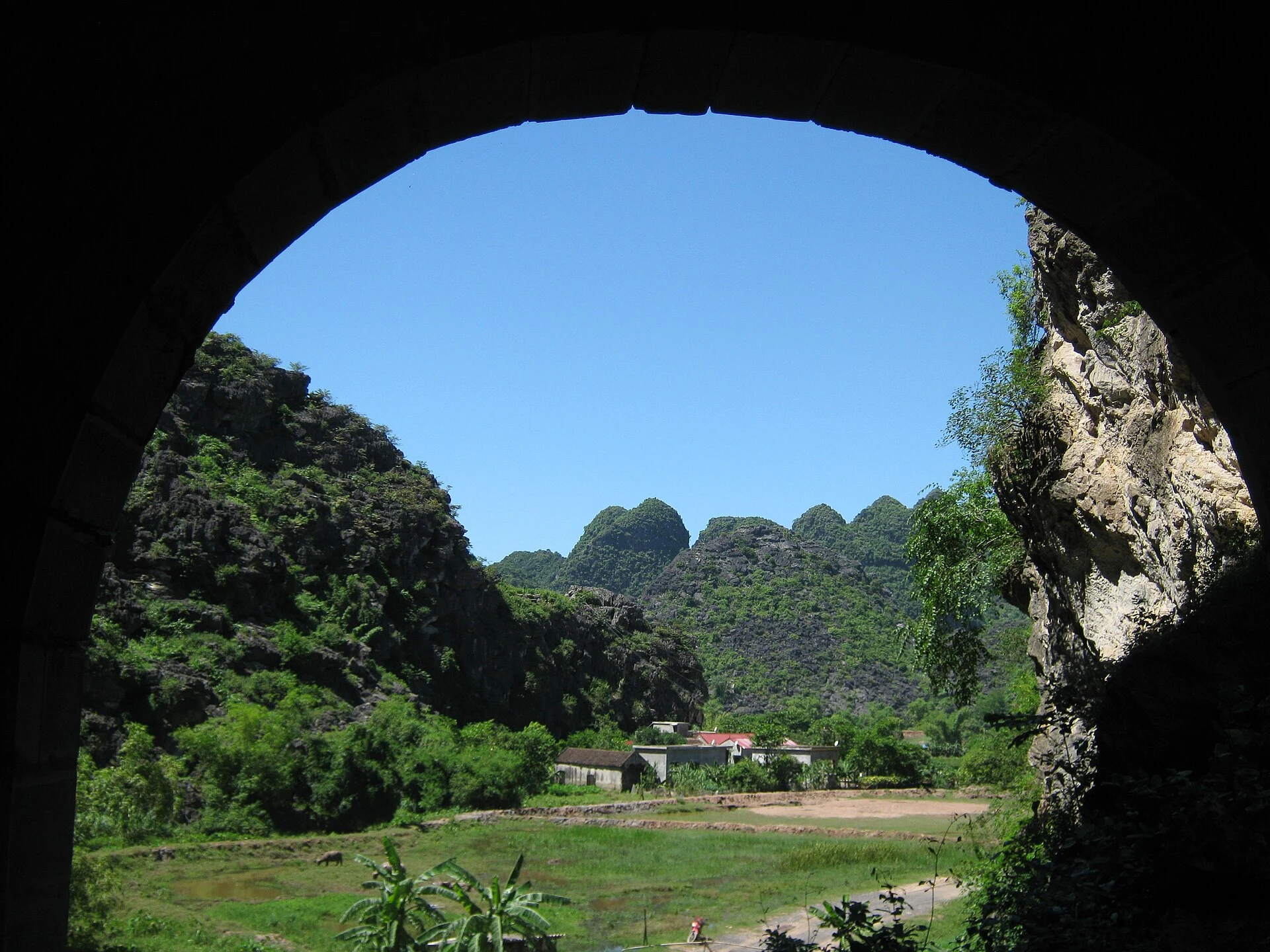
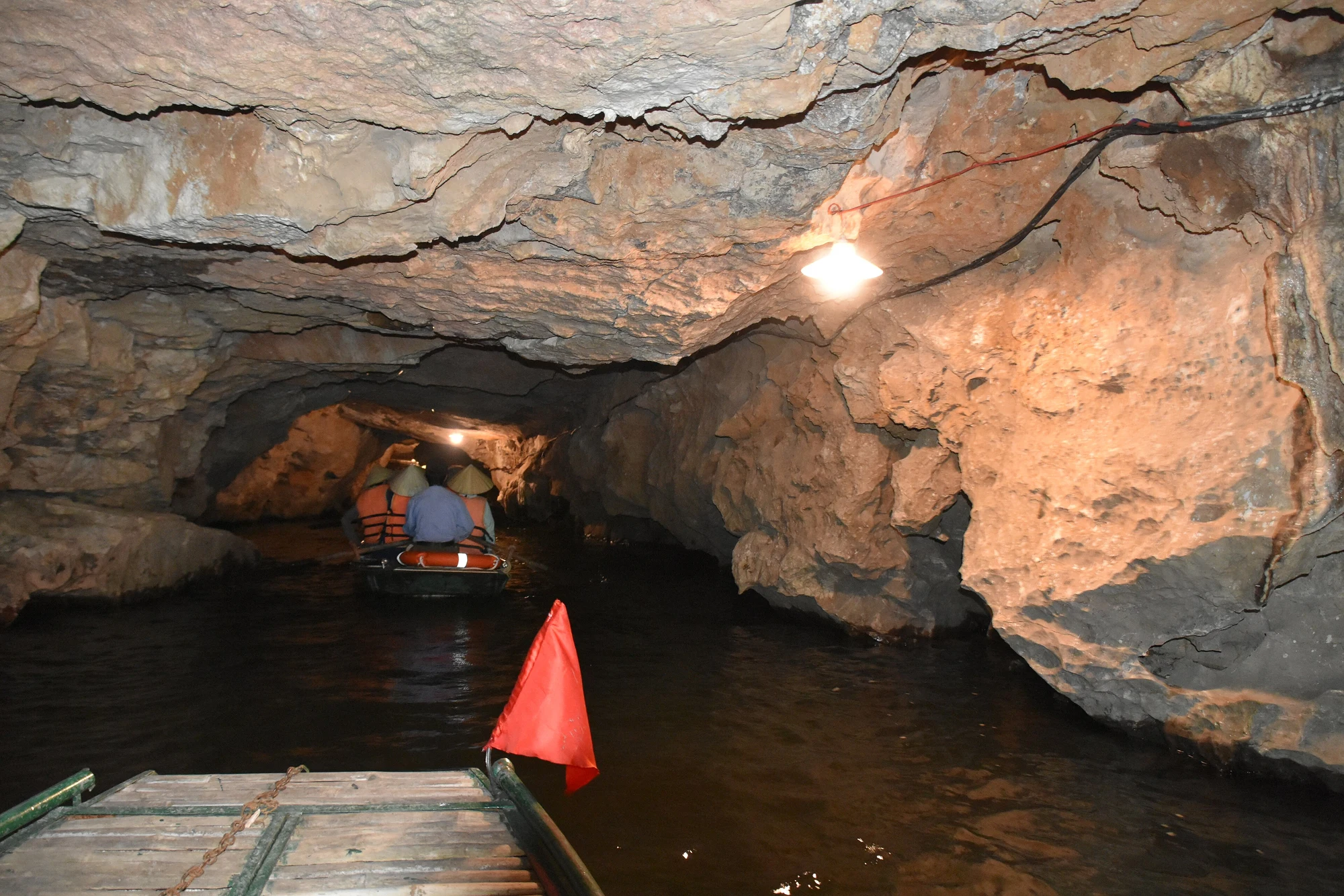
The Outlook lists the vocabulary. Towers are the steep, forest-mantled pillars, some reaching about 200 metres. Cones are their rounder relatives. Cockpits are enclosed hollows ringed by sharp ridges, and here they are flooded and linked by waterways running through caves, a form the Outlook says experts rate among the finest anywhere. Poljes are flatter, interior-draining valleys. Geologists also use two Chinese terms: fengcong, where ridges tie the peaks together, and fenglin, where towers stand alone on an alluvial plain. Trang An shows both, plus the forms between them.
A simple game for the boat: at each bend, ask whether the peaks in view are joined at the base or separated by flat ground. Joined means fengcong; separated means fenglin. You will be wrong sometimes, which is fair, because the site’s interest lies partly in those transitions. The whole massif was dissected over about five million years, and the Outlook notes something rarer still: it is rain-fed only, shaped by water falling on it rather than rivers arriving from elsewhere.
Finding a notch from a low seat
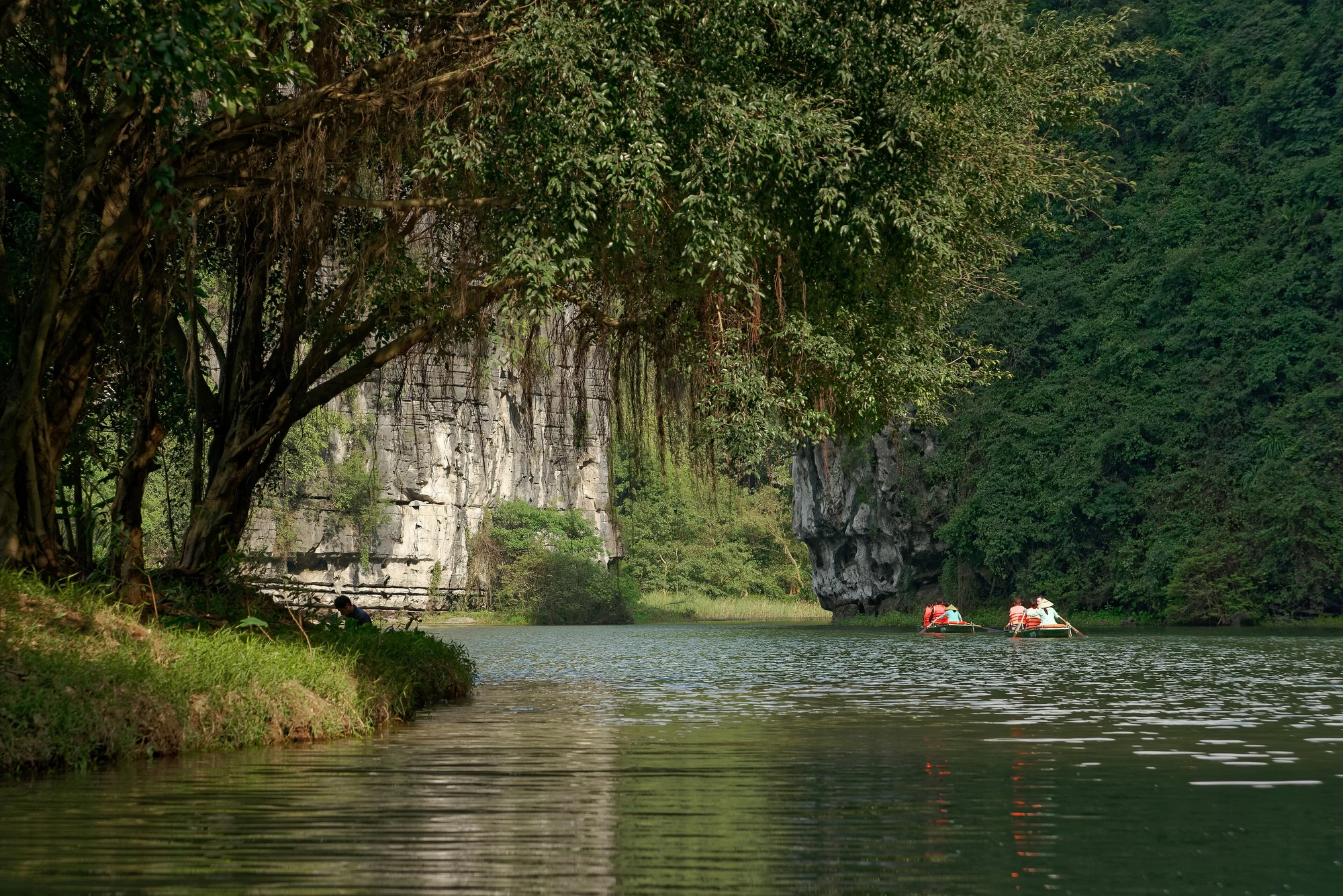
A notch is a horizontal bite cut into a cliff, usually with an overhanging lip above it. A paper by Kahlert and colleagues in Quaternary Science Reviews used well-preserved notches along Trang An’s vertical cliffs to model the old coastline, reading them as phases when the sea held steady, probably during the Mid-Holocene transgression between about 8,000 and 4,000 years ago.
To spot one, look for a line that stays level while the rock bedding around it tilts, and a shadow running along the wall at a consistent height. Do not confuse every ledge with a shoreline; rockfall and bedding planes make shelves too. Saying “that might be a notch” to your rower is more honest than announcing one. Rowers here are trained as guides, according to the Outlook, so ask whether they know a good example on your route.
What the mud and caves add
The most surprising record lies underfoot. O’Donnell, Rabett and colleagues cored the floor of an enclosed doline in the massif and found mangrove pollen making up 17 to 57 percent of the record. Mangroves seem to have colonised it from about 8,100 years ago and lingered until about 250 years ago, long after the shoreline had moved away. A neighbouring cave deposit held brackish-water molluscs and fish remains, and material dated to about 5,500 years ago suggests people fished and foraged in mangrove and lagoon habitats while hunting in the limestone forest.
So when a boat slides through a flooded basin, picture a sheltered lagoon with people working it. The same study links a later opening of the forest, around 875 CE, with the rise of the capital at Hoa Lu, close by.
Reading it without wearing it out
Trang An is a mixed World Heritage site, inscribed in 2014, and the IUCN Outlook names poorly managed tourism as its most notable continuing threat, with 2.8 million visits reported for 2024. It also flags lighting in show caves, which can feed plant growth on rock. Keep hands off cave walls, resist asking for a detour, and leave any shell or stone where it lies; those fragments are the evidence this article has been describing. Ask route-specific questions at the ticket point, because the combination of caves changes by route.
Questions travellers ask
Does Trang An still have sea water in it?
The sources used here describe former marine conditions, not a present tide. The waterways are part of a rain-fed karst system, and the sea withdrew thousands of years ago.
Which boat route shows the best notches?
No source ranks routes by notches. Ask your rower or the ticket staff on the day, and treat any cliff at close range as a chance to look.