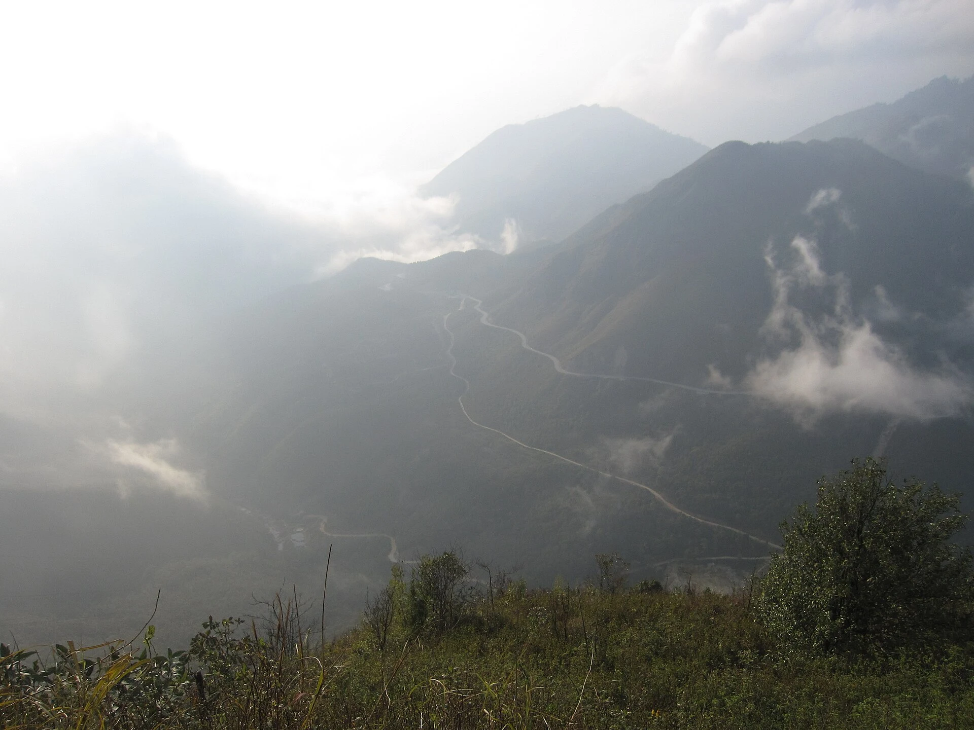
Hoang Lien’s altitude bands: how forest changes on the way up from Sapa
From farmed slopes to rhododendron and dwarf bamboo, how Hoang Lien’s vegetation shifts with height, and what you can read from a trail or a Fansipan cable car.
 Cat Ba Connect4 min read

The short answer
Hoang Lien’s forest changes noticeably with height. Below about 1,500 metres, much of the original cover has given way to farmland, scrub and bamboo. Higher, temperate trees mix with subtropical ones, then mossy old forest with rhododendrons takes over from around 2,000 metres, and wind-beaten dwarf bamboo holds the exposed ridges near Fansipan’s 3,143 metre top. Published boundaries vary, so treat heights as rough bands. A trail shows the change up close; a cable car shows it as a passing strip of colour.
The mountain as a stack of climates
Hoang Lien National Park was established in 2002 and lies across a range rising from about 1,000 to over 3,000 metres. It is recognised as an ASEAN Heritage Park, and it holds a great deal of plant life: a 2022 Bao Lao Cai report quotes the park’s count of 2,847 vascular plant species, including 172 orchids and 30 rhododendrons, while other studies quote more than 3,000. Numbers differ with survey and boundary.
One way to feel what that means: walking uphill here is a little like travelling north. PeakVisor’s park profile describes subtropical conditions at the bottom, temperate conditions from about 1,500 metres, and subalpine conditions above about 2,500, with long harsh winters and occasional snow. Published belt boundaries differ from author to author, and the Vietnamese research papers located for this guide could not be read in full, so hold these figures as a rough ladder and not as lines on the slope.
Lower slopes: the forest that is no longer there
Start with what is missing. Around Sapa town and the valleys, you are generally below the park’s forest zones. PeakVisor notes that much of the original vegetation below about 1,500 metres has been replaced by grassland, scrub and bamboo, although tropical species still dominate the mix, including many orchids.
So the first reading skill is to look for edges. Where do terraces stop and trees begin, and how straight is that line? A sharp boundary usually means people drew it. Scrub and young bamboo indicate land that has been cut or disturbed. Darker, uneven canopy above tells you older forest survives there, often on land too steep or too protected to work.
The mixed middle, and the moss line
Between about 1,500 and 2,000 metres, PeakVisor describes a mix of subtropical, tropical and temperate plants, with beech, birch, laurel, magnolia and ferns. On a damp morning, this band feels different from below. Bark begins to carry moss and ferns, and cloud sits among the trunks.
Rhododendrons enter the story near here. Bao Lao Cai’s feature says they appear from about 1,800 metres on the Fansipan trail, red-flowered kinds from about 2,300, with large stands at about 2,500 to 2,800 on neighbouring peaks. It places them in old forest among moss-covered trunks. Agriculture and Environment newspaper adds that endemic Fansipan firs grow from about 2,000 metres up, and that some heritage-listed trees there are recorded at over 300 years old. If you see massive, moss-thick, low-branching trunks, ask your guide what they are.
The top: where wind makes the rules
Near the ridge the forest gets shorter. PeakVisor lists hardy ferns, mosses, lichens, rhododendron and Chinese dwarf bamboo for the high slopes, and Bao Lao Cai notes red rhododendrons on windy shoulders where otherwise only dwarf bamboo survives. The shorter the plants, the harsher the exposure.
One tree shows how narrow these upper niches can be. Agriculture and Environment reports just 26 or so Fansipan spruces near the summit, listed as Critically Endangered, regenerating very poorly. Being near one is reason to stay on the path.
Reading it from a trail or from a cabin
Trekking gives you time and detail, and the bands arrive slowly enough to notice. Ask your guide to stop once in each change of forest, and take a photo of the same subject each time, such as bark or the ground layer. That simple series becomes your own transect.
The cable car compresses all this. Nhan Dan says its line crosses fine old trees, and Agriculture and Environment says flowering rhododendrons can be seen from the cabin as well as on foot. Flowering runs mainly in March and April on one account and from late February to May on another, so nothing is promised. Watch for the moment the canopy shortens, the colour shifts and cloud gives way, and keep your face near the glass. Cloud may hide all of it, in which case the summit-area layers and shrubs are still a lesson in cold and wind.

Questions travellers ask
Can I see the forest zones from the Fansipan cable car?
Partly. You can notice canopy height and colour changing below the cabin when cloud allows, but a trail shows far more. Plan for cloud hiding some of the view.
When do Hoang Lien’s rhododendrons flower?
Reports give late February to May, with most bloom around March and April. Timing shifts with height and year, so ask locally and do not book a trip around one date.