Cao Bang City on foot: a half day of bridges, market and river before the road north
Cao Bang City sits between two rivers and is easy on foot. A half-day around Bang Giang Bridge and Kim Dong Street, what to eat, and how to check your bus drop-off.
 Cat Ba Connect3 min read

The short answer
Cao Bang City rewards a half day on foot before you head to Ban Gioc. The town sits on a peninsula between the Bang Giang and Hien rivers, with Bang Giang Bridge at its centre, a market and a food street near Kim Dong Street on the west bank. Eat steamed rolls in broth, walk the river and stop before the old hill fort, which is a military area. Check your bus drop-off first: the main intercity station is about 8 km west of the bridge.
Fix your arrival point first
Wikivoyage puts the bus station on the east bank near the bridge, but OpenStreetMap shows the provincial bus station on Highway 3/34 west of the city, about 8.4 km from Bang Giang Bridge by foot route. Your bus may also drop elsewhere. Ask the operator exactly where you will get off, and whether a transfer into town is included.
If you land at the outer station, take a taxi or feeder rather than walking. Save the hotel name in Vietnamese. That leaves the half day for the town itself, and not for a hot walk along a highway.
Understand the peninsula
Wikipedia describes the city as lying in a peninsular valley between the Bang Giang and Hien rivers, with the two meeting to the north-west of the town, at about 300 m above sea level. The capital moved here after the French arrived in 1884, and they built a fort on a hill above the town, an area that later became a military zone. Treat it as a view from below and do not try to enter.
The bridge is your landmark. Wikivoyage says the main street, Kim Dong, runs along the west bank with hotels and the market. The river is never far away, which makes it hard to get lost.
A walking order for the morning
Wikivoyage calls the city easily navigated on foot. Start early at the morning market it describes along the river south of the bridge, which it says operates only in the morning. Then cross to the covered market just north of the bridge on Kim Dong, which sells produce, cooked food and household goods.
These details come from a community guide with no date, so check them against what you find. If the riverside market has moved, you lose nothing by walking along the bank. A walk in the mid-morning, before the heat, suits a traveller who arrived on a night bus and cannot check in yet.
What to eat, without a shop list
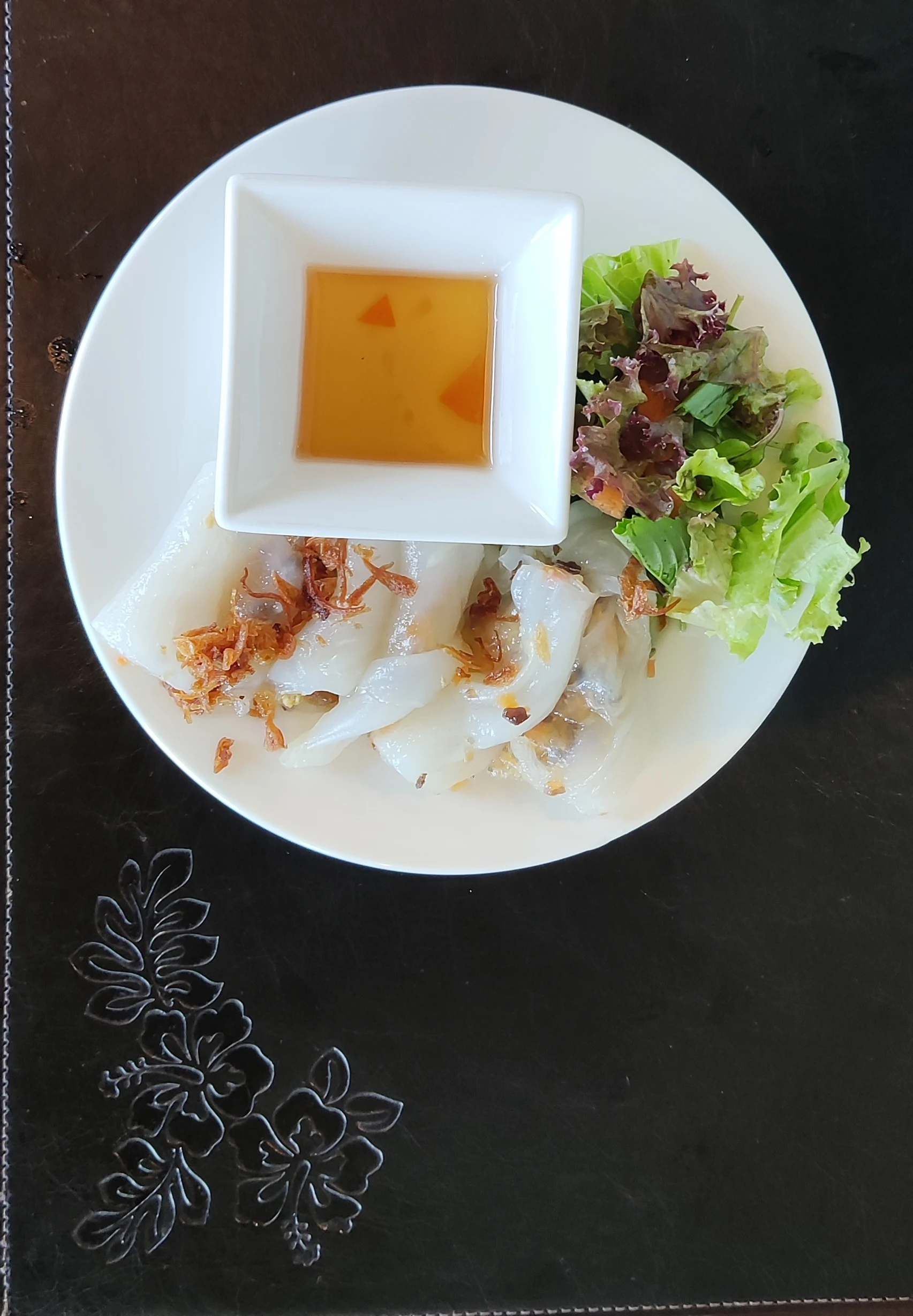
Banh cuon is the dish to seek out. Viet Nam News describes the Cao Bang version as dipped into a very hot broth, made by simmering pork bones for many hours, rather than the sour sauce used for Hanoi rolls. It is made one sheet at a time, so sit down and wait.
Wikivoyage mentions a food street on Kim Dong near Bang Giang Bridge, and evening stalls. VnExpress names other dishes in the city, including sour pho and seven-flavour roast duck. Shops change, so no addresses are repeated here. Ask your hotel where people are eating this month.
Before the road north
Use the afternoon to prepare for what comes next. Ban Gioc and Nguom Ngao lie well outside town, and Wikivoyage says the city’s appeal is mostly as a base. Confirm tomorrow’s pick-up point, buy water, and get an early night.
Check the weather too. In late June 2026 heavy rain raised both rivers fast and threatened central wards, according to VietnamPlus, so a riverside walk is for dry days. Do not book a full sightseeing day straight after a night bus. Arrive, walk a little, sleep, then head north.
Questions travellers ask
Is Cao Bang City worth a half day?
Yes, as an arrival-day walk: rivers, a market, and steamed rolls in broth. The main sights lie outside town.
Where do buses from Hanoi stop in Cao Bang?
It varies. OpenStreetMap shows the provincial station about 8 km west of the bridge, so ask your operator for the exact drop-off.